- English
Languages:
This site is created using Wikimapia data. Wikimapia is an open-content collaborative map project contributed by volunteers around the world. It contains information about 32550540 places and counting.
Learn more about Wikimapia and cityguides.
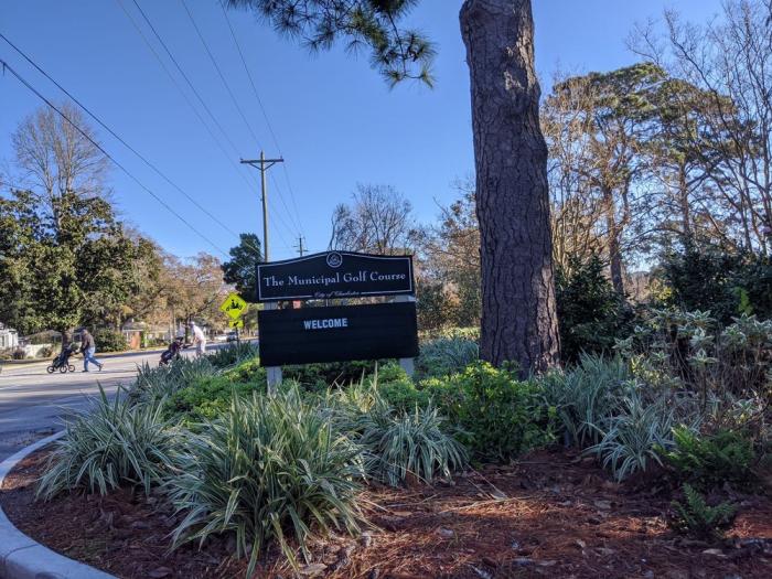
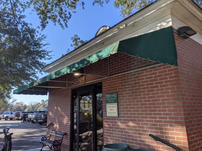
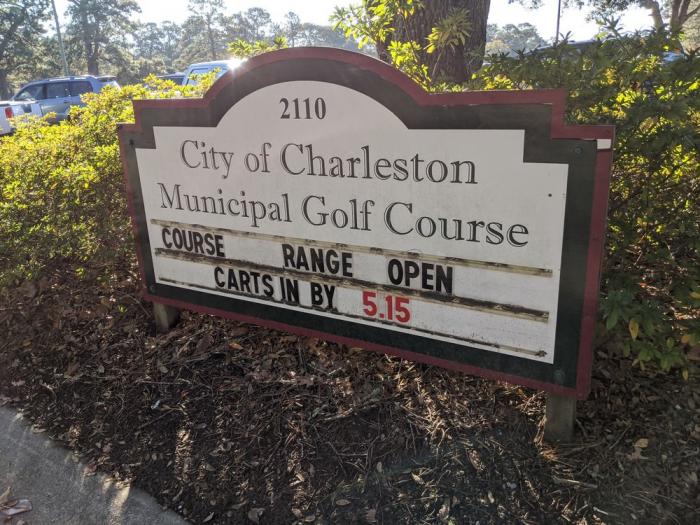
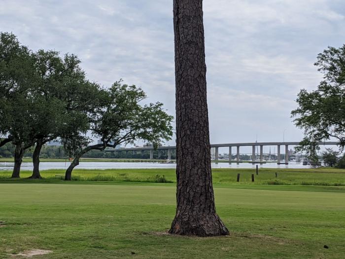
Charleston, South Carolina
City with an estimated population of 107,845 in 2006, making it the second most populous city in South Carolina behind the state capital Columbia. County seat of Charleston County, with some areas in Berkeley and Dorchester Counties. The city was founded as Charlestown or Charles Towne in 1670, named for Charles II. Moved to its present location in 1680, it was established as the capital city of the Carolina colony. In 1690, Charleston was the fifth largest city in North America, and the largest city in the southern British colonies. It was also a major port in the transatlantic slave trade, nearly half of its population before the Revolutionary War being slaves.
During the Revolution, the British occupied the city from 1780 to 1782: The British occupation of Charlestowne was seen as one of the greatest American defeats in the war. After the British withdrew the city's name was changed to its current spelling. Charleston served as the state capital until 1792 when it was relocated to the newly built city of Columbia. In the early 19th century Charleston grew and became wealthy due to its importance in the cotton trade. Site of the first shots of the Civil War, fired on the federal garrison in Fort Sumter in 1861. Union naval forces blockaded the city throughout the Civil War and eventually occupied it in 1865. In 1886 the city was nearly destroyed by the famous Charleston Earthquake. In the 20th century it became a major tourist destination.
The city proper consists of five distinct areas: the Peninsula/Downtown, West Ashley, Johns Island, James Island, Daniel Island, and the Cainhoy Peninsula. Charleston is known as The Holy City due to the prominence of churches on the low-rise cityscape, particularly the numerous steeples which dot the city's skyline. Site of the Citadel and the College of Charleston.
Website: www.charlestoncity.info
Wikipedia article: http://en.wikipedia.org/wiki/Charleston,_South_Carolina
City with an estimated population of 107,845 in 2006, making it the second most populous city in South Carolina behind the state capital Columbia. County seat of Charleston County, with some areas in Berkeley and Dorchester Counties. The city was founded as Charlestown or Charles Towne in 1670, named for Charles II. Moved to its present location in 1680, it was established as the capital city of the Carolina colony. In 1690, Charleston was the fifth largest city in North America, and the largest city in the southern British colonies. It was also a major port in the transatlantic slave trade, nearly half of its population before the Revolutionary War being slaves.
During the...
 Reduce description
Charleston, South Carolina on the map.


Recent city comments: